Starting off in Pueblo, Colorado in the morning our target for the day was central Kansas. The SPC had put a Moderate risk for the area, but only 5% tornado risk as the general threat was wind. The initiation of storms were not supposed to be until later in the afternoon but the storms fired off earlier than expected so soon ended up in the dreaded game of catch up with the storm that was over I-40.
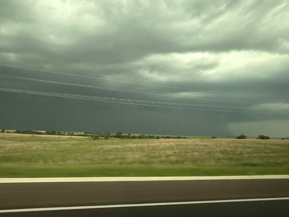
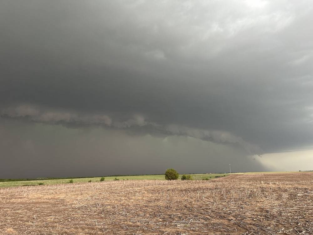
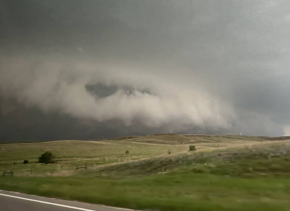
Although we could see it from a distance, it was already rain wrapped when we got closer and we could not close in on it since going north would mean falling behind on it, so we had to follow it eastwards on a southern position. This was the view of the storm for most of that time.
Somewhere around this point, or possibly earlier, we could see the tornado reports dropping in – and soon thereafter the photos on Twitter. It was quite frustrating to watch the storm and know there were probably an ongoing tornado somewhere inside. That is the nature of storm chasing in general and HP supercells in particular however, you have to be in time, close and on the spot to see the tornado. As far as I understand, the first (and best) tornado was however when it was not HP.
The frustrating part of these kind of days is that you start wondering about each step you could have done differently. Could we have expected an earlier initation? Should we have stayed closer to the risk area the night before etc.?
We followed the storm for a while and ended back up in Lindsborg, KS, which is always fun for me (as a Swede). It feels a bit weird to see Swedish signs, “Dala horses” etc everywhere in a town when you are out chasing!

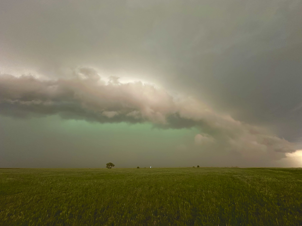
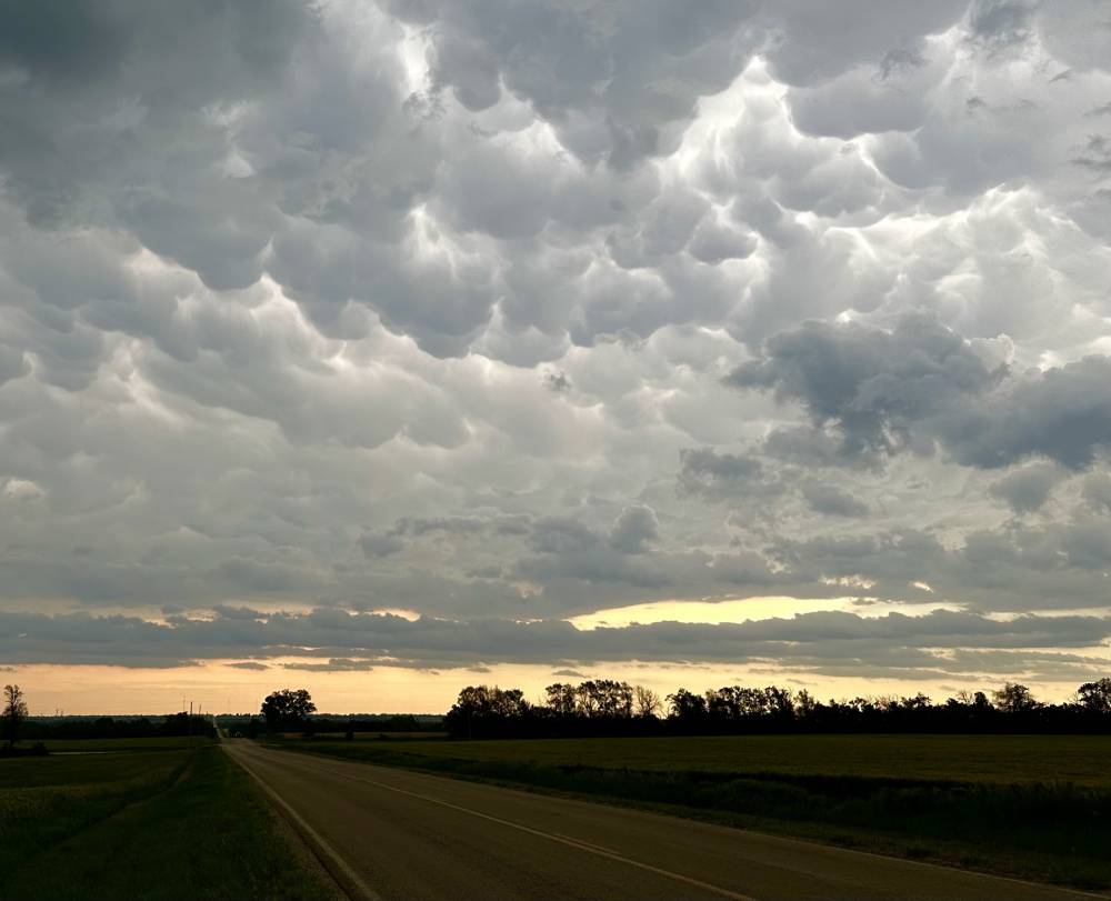
The day ended on a fairly positive note with a nice display of green hail color in the storm and some nice mammatus.