This week I have done a LOT of studying to really make an effort of understanding “everything”. I have been studying storms and forecasting all throughout the web. As I mentioned earlier, I have gone through Mike Hollingshead’s excellent “Storm analysis 101” videos from which I learned a lot.
Most of the online resources for learning storm forecasting are too difficult for my skill level. Most difficult is that there are few examples and it is often assumed that you understand definitions like RFD, downbursts, skew-t etc. Well, in the beginning of my learning frenzy I had heard about all of them but really didn’t understand them.
So, if you are in the same situation as I (chased some, learned a bit) these are my suggestions after nearly one week of online classes. The suggestions are how to proceed in chronological order:
- Bring out an empty notebook to take notes in. Taking notes and making your own drawings of things are a key to learn.
- Start with the SpotterNetwork.org training. It is an extensive training program that really take things from scratch and assumes you know very little, and by so leaves very few questions. It has a lot of examples and tons of really great graphical models that helps a lot. It ends with a quiz that will give you a hint whether you have learned anything. If you do this course you don’t really have to take the Spotterguides.us training (which is often referenced), which isn’t as good or extensive as the SpotterNetwork, in my opinion.
- Go through the “Storm analysis 101” instruction videos. You will benefit more from these videos if you have done the SpotterNetwork training before. You will get some good understanding of forecasting and to analyse a storm (answering questions like “What am I really looking at here”).
- Check out the extensive sub-forum on StormTrack.org called “Introductory weather & chasing”. At the time of writing there are 38 pages with hundreds of threads with many newbie questions. It would take forever to go through them all but on the other hand, the non-storm chasing season lasts forever so you have plenty of time 🙂 This sub-forum is also great if you need to ask any questions about storms.
- Read the “Storm Chasing Handbook” by Tim Vasquez. Some chapters in the book are very basic and some (like the forecasting part) may be a bit too difficult at this point. It gives you, however, a good overall understanding about storm chasing, weather as well as some good-to-know stuff.
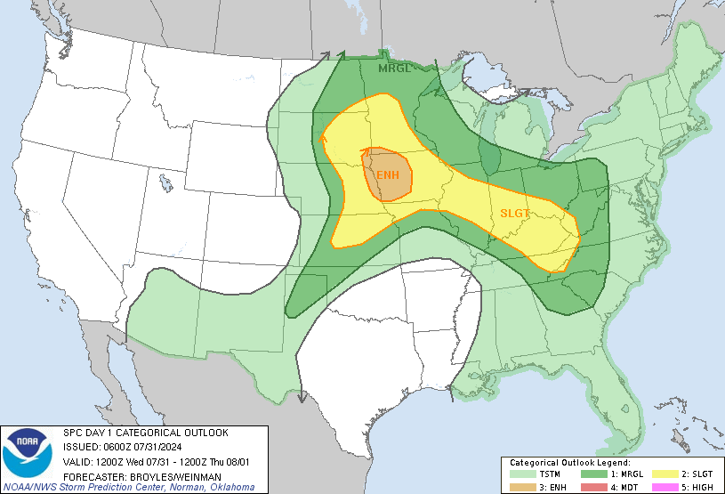
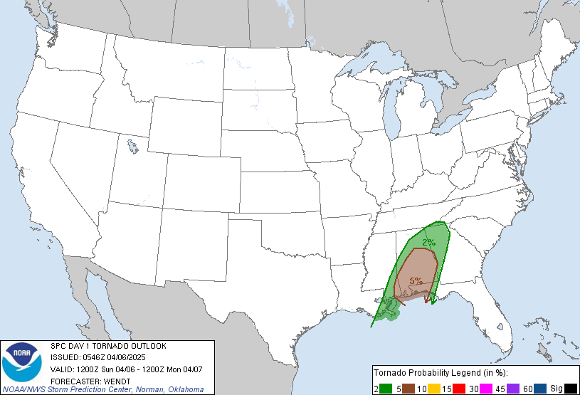
- Start reading the SPC (Storm Prediction Center) outlook texts. Many suggest that you start your learning by checking out the SPC text. I don’t agree. It contains far too many definitions that, for a beginner, don’t really make any sense at all. After going through the above it will start making way more sense. What you will learn from this is why a certain area is under threat of severe storms (as can be seen on their categorical outlook). It will guide you to what weather variables to look further into.
This is as far as I have reached during the last week. I feel like I have a decent understanding of storms on the mesoscale level (small scale level, such as one particular storm) and the definitions that goes with it. I could go back to my old photos and understand way more of what I actually had photographed.
After this I also have a good understanding of the basics of severe storm setup: instability, moisture, lift, wind shear but I am very far from really finding this on a weather map unless someone points it out to me, like SPC. At this point I can understand to some extent what I see when I look at a e.g. North Platte-sounding – but I don’t really know how to figure out North Platte was the sounding to look at in the first place!
Forecasting?
My next phase of learning will be to try to learn how to forecast storms or at least have a good estimate of where storms may appear on a particular day. Many refer to WeatherPrediction.com and particularly its Haby Hints as a good place for beginners. I will look into it and get back with more tips on how to learn how to forecast.


i’d love to be a storm chaser one day because i’m interested in weather