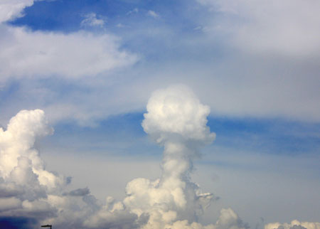
…this day would have been the most disappointing chase day ever!
I know I refer a lot to SPC and their rating of risks etc. Mainly, it is because I am not skilled enough to do my own forecasts and assess that risk myself. So, when I saw an Enhanced Risk and 10% Tornado Risk (which was the first time I had seen that) I was really excited. It felt like it was not a matter of if I would see a tornado today but when, how, and how many!
I was about to learn an important lesson.
There were two targets of the day: Eastern Colorado or Southeast Wyoming. I was happy when we chose Wyoming since it was the place where I had seen my first tornado back in 2009. The Gushen County-tornado that was not only an incredible tornado but also covered by Vortex 2. Our corner of Wyoming also got a tornado watch later on, luring all the chasers from Colorado up north.
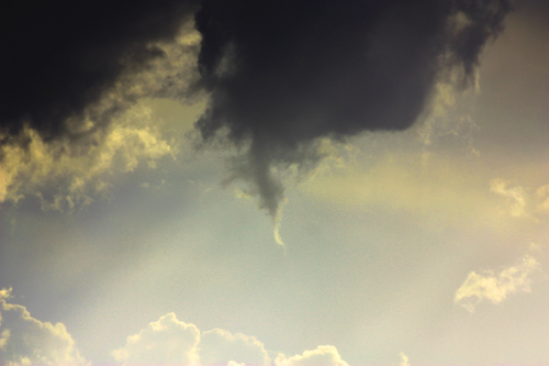
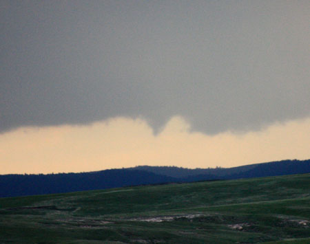
We waited and waited but the storms that started never really took off. When they finally did they were barely severe. We chose a target storm and followed it into Gushen County, actually. It really looked like crap but while sitting in the car it actually spun out a really long and, actually, quite amazing funnel cloud that lasted for about a minute! It was a horizontal funnel cloud and reached half-way down to the ground.
The first long funnel was followed up by another a few minutes later. The storm really wasn’t organized at all so it was more a lucky shot. We were the only one near it so I believe we could have been the only ones to have seen it, which added to the pleasure.

What did not add to the pleasure was that this would turn out to be the highlight of the day. The best storm was positioned far between good road options and even the best storm did not look all that great.

Outside of the funnels we saw today it was a very disappointing day. I really thought we would see tornadoes but the storms seemed nowhere near producing tornadoes. Well, actually, Brandon Ivey reported a tornado from our cell at 10 p.m. but at that time we were long gone. I am quite impressed that they (StormChasingTour.com) persevered that long, as a matter of fact.
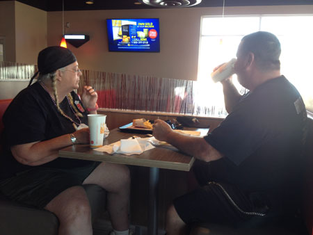
On a more positive note, the day was a very social day. I accidently met Brian Morganti while chasing (who was my tour guide in 2013) and also Roger Hill, who I had been in contact with over email as well as the Extreme Tornado Tours-people.