Day 12 turned out to be a classic Storm Chase-day. We went to Colorado in the morning and drove toward a promising storm, but the roads were not in the same direction as the storm so we got behind and inside the storm again, which meant rain and poor visibility.

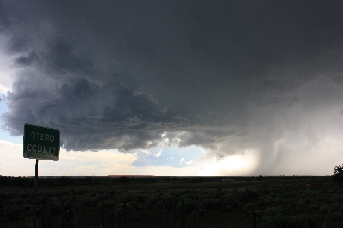
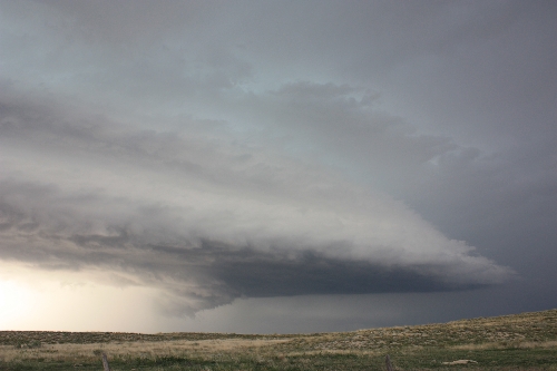
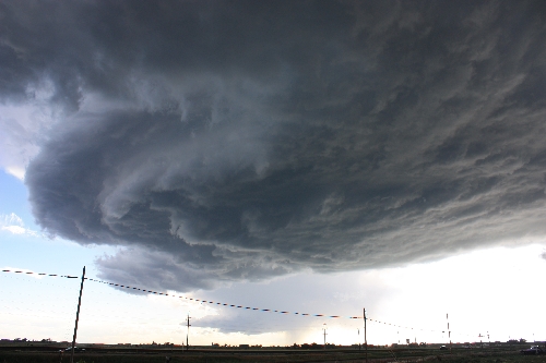
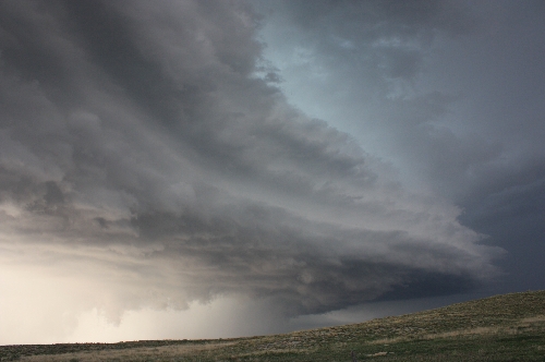
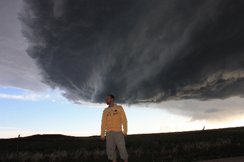
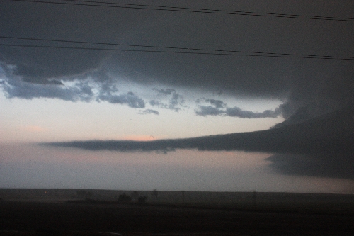
Fortunately, the storms pops up earlier in Colorado than the rest of the Midwest so even though we wasted 2 hours on this storm in vain it was still only around 4 p.m. when we made our second attempt. This time, ee ended up in front of a perfect scenery with two super-cells next to each other – we stood and looked back and forth and did not really know which one to keep an eye on. All that was missing was a tornado and the Pulitzer Prize 2009 would be mine! Supposedly it was very close since virtually all the data indicated that a tornado could be formed at any second but the storm rotated a bit too slow.

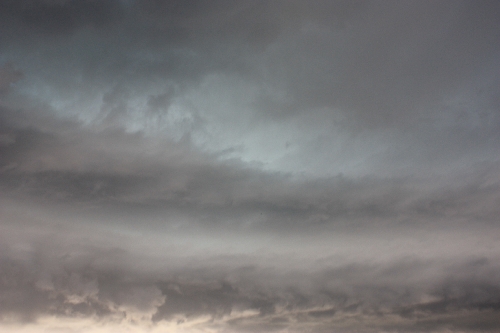
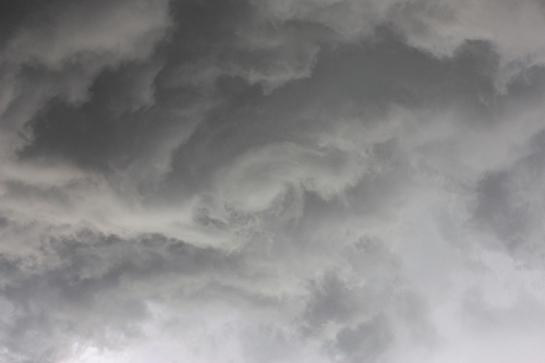
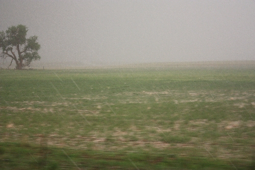
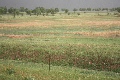
We continued on and I guess you know the story now. Repositioning, wall cloud, core punch. Today’s big event was that we got directly under our first great hail storm and we followed it for nearly 40 minutes. The hail was not as large as before (dime sized hail) but it was cool to see how it completely tore the trees to pieces and was drumming so hard on the car making it completely impossible to talk.

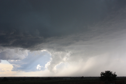
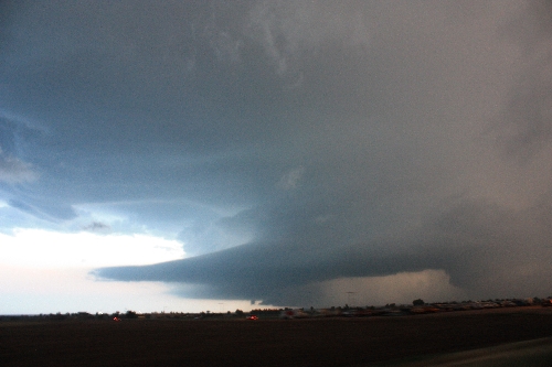
The two super-cells merged some time later and we were hoping for The Perfect Storm, but even if the storm was unbelievably photogenic, it never went as crazy as we hoped.

textbook example
Textbook example of a storm cell – the rain on the right is the outflow and the low cloud on the left is the inflow. You can see how the rain is sort of sucked into the inflow, almost even before hitting the ground.
zoomed in
Last photo a bit more zoomed in.
rain
Rain is beautiful – if you look at it from a distance.
black and white cloud
Two clouds, which we hope will begin to rotate. One is white and the other dark gray, depending on how the sun shines at them.
otero county sign
Otero County
white scud
White Scud
boob clouds
Boobie clouds – but not Mammatus 🙂
mothership supercell crashing
One of my favorite pictures from the trip – this was the northern part of the double-super cell we looked at.
storm cell detail
This was the southern part of the same super cell – I would have liked to see this from a bit further away!
mothership supercell striations
You can clearly see how the super-cell is divided into layers
striations supercell
Striations and layers of the supercell
counter clockwise rotation
One part of the cloud with an anti-cyclone rotation – that is, against the direction the rest of the cloud was rotating
christoffer björkwall storm chaser
Me posing in front of this really cool storm.
hail tearing up a tree
Then it began to hail immensely – you can see how the leaves from the trees are torn apart.
artillery by hail
The hail came down like artillery fire on the fields
hail driving range
Foooooooore! I went out to see how it felt but it was not so bad with a thick sweater.
road covered in hail
A road in Colorado in June!
catamaran cloud
The sun started to set and the clouds looked like a catamaran boat – a lovely sight.
Two details that one sees a bit now and then. A beaver tail-cloud and a vortex (a mini tornado in the clouds), you can see the latter above the beaver tail cloud, a bit to the right of the pink cloud.

Leave a Reply

Follow StormChasingUSA

Twitter is StormChasingUSA's main channel. See cool photos, get updates on chases & tours and other interesting aspects of storm chasing.

@stormchasingusa on Twitter

Get info on deals & see amazing photos on our Facebook page.
@StormChasingUSA on Facebook


See amazing photos of tornadoes and supercells on our Instagram account.


Be the first to see our storm videos by subscribing to our Youtube-channel.


@StormChasingUSA on Youtube

Get notified on great deals etc.

Get news about deals, discounts and cool things going on in the storm chasing tour industry by subscribing to our newsletter now:

How’s chasing today?

Convective outlook

Tornado risk

Storms reported